Indonesia on the world map: where are the islands located
By Anna Kobyliatska
23.12.2022
The Republic of Indonesia is an island nation in Southeast Asia. It occupies the territories of the Malay Archipelago and the western part of New Guinea. The islands border with Malaysia, Papua New Guinea and East Timor. This is the largest country on the islands, which, moreover, is washed by two world oceans - the Pacific and the Indian. In the north, the coast of Indonesia is surrounded by the South China Sea. It is noteworthy that the islands are scattered on both sides of the equator, but most of them belong to the southern hemisphere. This is an amazing country with incredible ethno-cultural diversity, ancient traditions, and most importantly - amazing nature. Indonesia is called the country of volcanoes, valleys and impenetrable jungle.

Depositphotos
The main part of the land belongs to the Sunda Islands, which, in turn, are divided into Large and Small. The major islands of Indonesia include: Java, Sumatra, Kalimantan (Borneo) and Sulawesi. The capital of Indonesia, the city of Jakarta, is located in the western part of the island of Java. To the east of Java, there are small islands, like pearls, including the island Bali, the most popular among tourists.

Depositphotos

Depositphotos
Most of the Indonesian landmass is covered by endless equatorial jungles, volcanoes, mountain ranges and large bodies of water. Tourism is well developed on some islands, there is a good choice of accommodation and conditions. Beach holidays are most typical for Bali and neighboring Lombok. Consider the most famous islands of Indonesia.
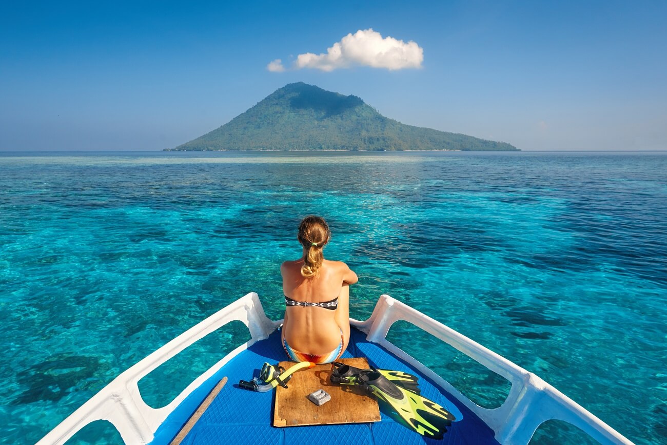
In terms of tourism, Bali is the most developed island in Indonesia. This is one of the main destinations chosen by travelers. The island has an international airport and modern infrastructure, as well as authentic settlements, Hindu temples, impressive volcanoes and pristine rainforests. It is impossible to talk about the flora and fauna of Bali without admiration. This is a real paradise island with a unique atmosphere. As experienced tourists note, a trip to Bali provides a complete reset on a psychological and physical level. The coastal areas have resorts with a large selection of hotels and stunning beaches.

Depositphotos
The largest and most populous island in the world. It is home to about 50% of Indonesians. In the western part of Java is the capital of Indonesia, the city of Jakarta. In terms of scale, Java is in 13th place among the largest islands on the planet. It is an island of incredible contrasts. On it you can find both modern megacities and endless jungles of mountain peaks.

Depositphotos
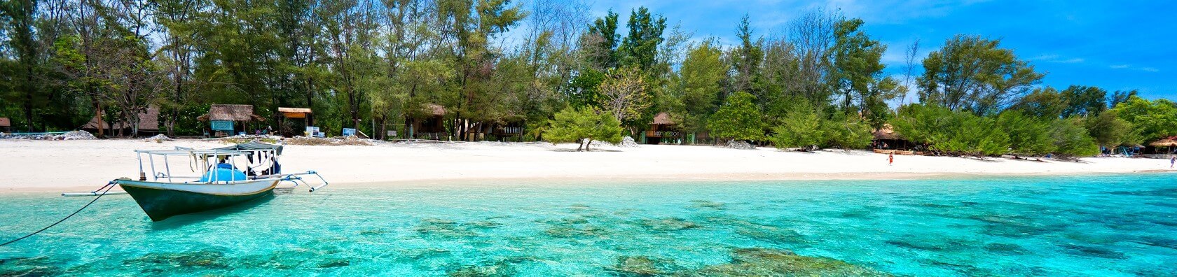
Bali's neighbor on the east side is the island of Lombok, an equally popular resort destination in Indonesia, which is in no way inferior to it in terms of tourism. The island is characterized by mountainous terrain, with natural hills, equatorial tropics and incredible hiking trails to the Rinjani volcano. From Bali to Lombok, you can go on independent or organized tours.

Depositphotos
Amazing opportunities for virgin jungle eco-tours can be found in Sumatra. This large, sprawling island is the sixth largest in the world. Sumatra fascinates with a variety of endemic flora and fauna. Its volcanoes, endless valleys, pristine coastlines and excellent climate create all conditions for travel. However, Sumatra is not as popular with tourists. This island is most likely the choice of travelers who do not like to sit still, as exploring the almost wild Sumatra does not seem like an easy task.

Depositphotos
Island of orangutans and natural parks. The ancient ecosystem of Kalimantan demonstrates the beauty and richness of the southern tropics. The third largest sea island in the world, which, moreover, is divided between three states at once - Indonesia, Malaysia and Brunei. In Malaysia, the name of the island is completely different - Borneo. As a center of tourism, Kalimantan is not particularly popular. Basically, these are protected places with wild, centuries-old jungles that attract true extreme people. However, Kalimantan also has comfortable conditions for relaxing on the coast.

Depositphotos
One of the large Sunda Islands, which most closely matches Sumatra in area. But Sulawesi has an unusual shape. At its core is a large mountain range from which four curved peninsulas radiate. In the bays of Sulawesi, nature has created ideal conditions for reefs, so diving and snorkeling is more popular here than anywhere else in Indonesia. The underwater ecosystem of Sulawesi is incredibly diverse.
.jpg)
Depositphotos
Geographically, Indonesia includes the western half of New Guinea, or Irian Jaya. In turn, Western New Guinea consists of two large provinces - Papua and West Papua. Territories of endless forests of all kinds, wetlands, valleys and mountains are home to a wide variety of flora and fauna. A real paradise for connoisseurs of nature and the indigenous traditions of the southern peoples.